Search
Map
Русский
Home
News
Knowledge Base
Tools
Projects
Organizations and Processes
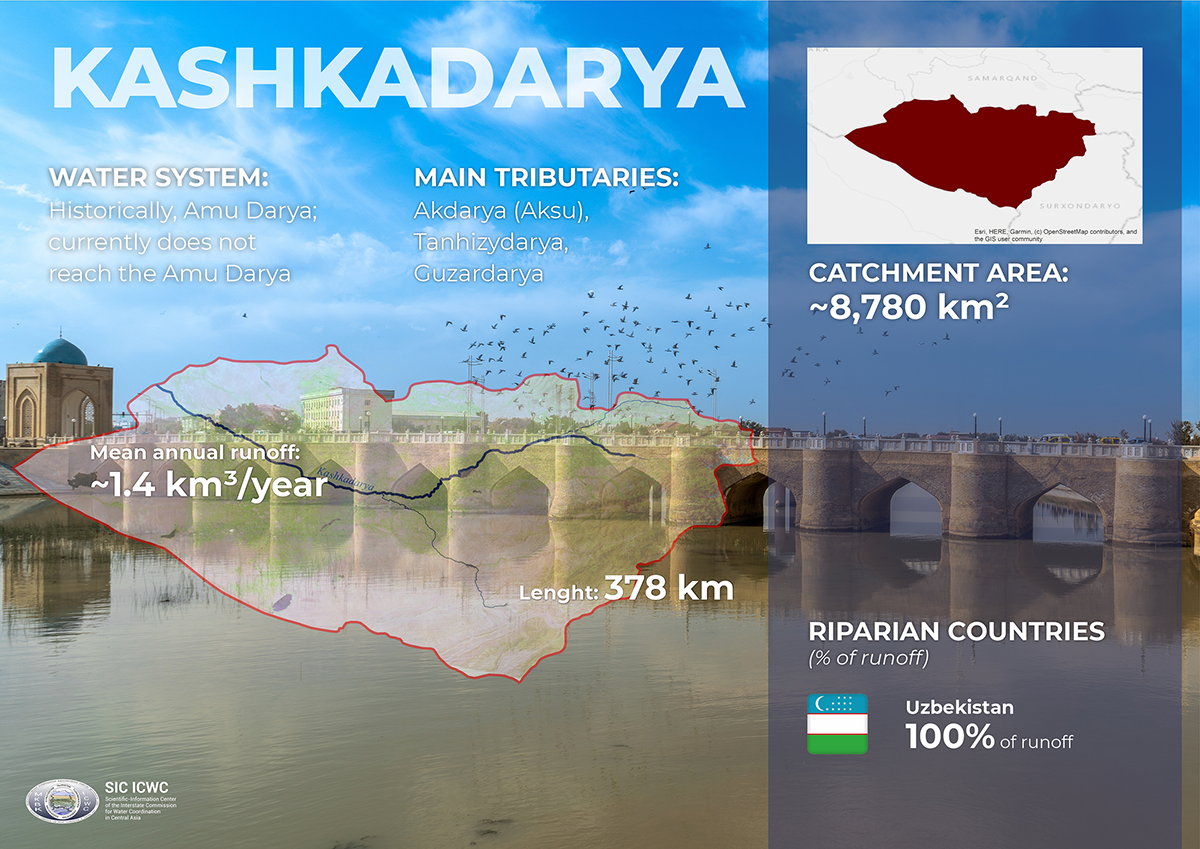
Kashkadarya
Knowledge base
Water resources
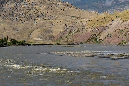
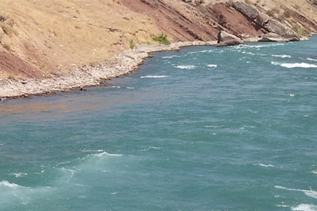
Water resources of Kashkadarya River basin
Agreements
Agreements on the Kashkadarya river basin
Papers
Kashkadarya River basin: papers
Maps
Maps and diagrams of the Kashkadarya River basin
Related river basins
Amu Darya
Knowledge Base on Amu Darya river basin
Surkhandarya
Knowledge Base on Surkhandarya river basin