
The Syr Darya river, formed by the junction of the Naryn and Karadarya rivers, is the longest river and the second largest rivers in terms of water content in Central Asia and Aral Sea basin. The length of the river is 3,019 km from the headwater (and 2,212 km from the junction point), while the catchment area is 219,000 km2. Average annual Syr Darya basin flows for the last years are 40.8 km3. Owing to unique Syr Darya water system it is feasible also to use 6.7 km3 of return waters.
The Naryn rises in the Tian Shan mountains in Kyrgyzstan, Central Asia, flowing west through the Fergana Valley into Uzbekistan. It is 807 kilometres long (together with its upper course Chong-Naryn) and drains a basin area of 59,100 square kilometres. It has an annual flow of 13.7 cubic kilometres.
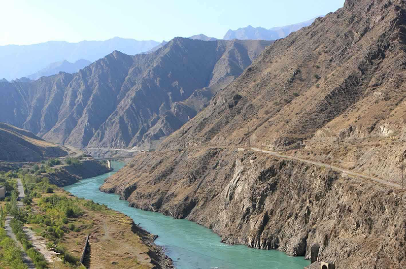
The river contains many reservoirs which are important in the generation of hydroelectricity. The largest of these is the Toktogul Reservoir in Kyrgyzstan containing 19.9 cubic kilometres of water. Dams downstream of the Toktogul in Kyrgyzstan include: Kurpsay, Tash-Komur, Shamaldy-Say and Uch-Korgon. Upstream of Toktogul in Kyrgyzstan are the Kambar-Ata-2 and At-Bashy Dams while the Kambar-Ata-1 Dam is in planning stages.