To the beginning of the section
Monitoring is a special organized and systematic observation over the status of objects and phenomena for their assessment, control or forecast.
The main application of monitoring is the information support of management. Monitoring is the complex process applied in different fields and for different purposes but has common characteristics and properties.
The objects of monitoring can be both direct natural, technical and social objects and processes. 1. Monitoring objects
• Atmosphere (air, rainfall, …).
• Land
• Plant
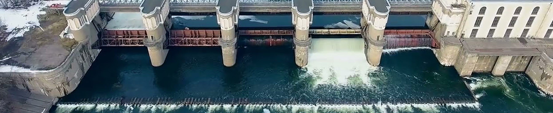
• Water:
• Surface
• Shallow groundwater
• Return
• Deep groundwater
• Infrastructure:
• Hydraulic structure
• Canal
• Drain
• Collecting drain or collector
• Well
• Pump...
• Equipment, machinery, transport.
• Agricultural organizations:
• Individual (peasant) farm,
• Agricultural cooperative…
• Water organizations:
• Water User Association (WUA).
• Main system authority (MSA).
• Basin irrigation system authority (BISA).
• Basin water organization (BWO)…
• Personnel.
• Processes:
• Operation of irrigation and drainage systems (I&D system).
• Maintenance of I&D system.
• Modernization of I&D system.
• Implementation of integrated water resources management (IWRM).
• Soil salinization.
• Waterlogging.
• Water saving…
2. Monitoring levels
• Local:
• Water User Association.
• Irrigation system.
• Basin.
• National (republican, provincial, district).
• Regional.
Land reclamation field offices (LRMO) at the Land Reclamation Authority of Uzbekistan, for instance, monitor soil salinization, water table, salinity of groundwater, irrigation and drainage water, and technical conditions of inter-farm collector and drainage network, monitor vertical drainage to check yield of well, salinity and technical conditions.
There are three levels of such monitoring:
• Field studies (sampling).
• Laboratory studies (chemical analysis of samples).
• Graphical visualization and analysis of collected data (using a geo-information system «Land reclamation»).
Author: Mirzaev N.N., SIC ICWC