

Information System
Regional Information System on Water and Land Resources in the Aral Sea Basin (CAWater-IS)
The regional information system on water and land resources in the Aral Sea Basin was designed to support decision-making process addressing water sector.
The main objective - to serve as common tool for accounting land and water resources in the Aral Sea basin dynamics aiming assessment of diverse aspects of their use and effectiveness. It should facilitate sustainable management and control of water resources use.
The system gives an opportunity to steadily evaluate water effectiveness in all uses and specify the non-productive losses.
The information system shared by all riparian states that encourages confidence, solidarity and sense of mutual responsibility. Available data series since 1980 (time interval: year/season/month).
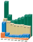
The most completed water-related database includes more than 150 parameters.


Thematic Databases

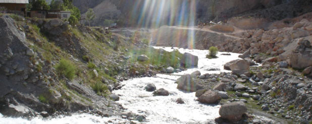
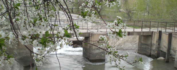
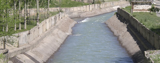
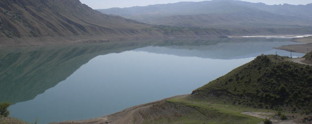
General Information about Aral Sea basin: Location, geomorphology, landscape, climate; Water resources; Formation of the surface flow; Surface water resources quality; Lakes and depressions; Groundwater: reserves and use; Waste and drainage water; Dams and hydropower; Lands; Irrigated lands; Salinization and drainage, etc.
The main indicators of the Aral Sea (morphometric and bathymetric data, etc.)


Database of the Amudarya river basin
This section contains general information about the Amudarya river basin: basin morphology, water resources; water management structure; reservoirs and streamflow regulation; water requirements; water losses along the river bed. The online database on real water withdrawals in the Amudarya river basin (from 1991 till now, which is being updated every ten days) is also here. The database includes, in addition, information about water infrastructure, water quality, water resources use.


Database of the Syrdarya river basin
This section contains general information about the Syrdarya river basin: basin morphology, water resources; water management structure. The online database provides information on real water withdrawals in the Syrdarya river basin (from 1991 till now, which is being updated every ten days). The database includes, in addition, information about water infrastructure, water quality, water resources use.


Database of the Zeravshan river basin
On-line database on actual ten-day water withdrawal in the Zeravshan river basin.


Database of the Karadarya river basin
On-line database on actual ten-day water withdrawal in the Karadarya river basin.


Database of the Chirchik river basin
On-line database on actual ten-day water withdrawal in the Chirchik river basin.


Database of the Surkhandarya river basin
On-line database on actual ten-day water withdrawal in the Surkhandarya river basin.


Database of the Kashkadarya river basin
On-line database on actual ten-day water withdrawal in the Kashkadarya river basin.
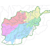
Water Resources of Afghanistan
Water resources of Afghanistan: General Information
Rivers of Afghanistan: database
Data on main rivers in Afghanistan

Water and Environmental Complex of Central Asia
This section gives passport data on water and environmental objects located in Central Asia: reservoirs, lakes, rivers, HPS, etc.

Indicators of Sustainable Development for the Aral Sea basin Countries
Indicators of Sustainable Development for Central Asia Countries and Afghanistan


