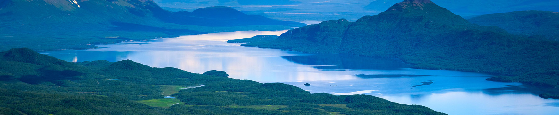
Lake Balkhash is one of the largest lakes in Asia and 15th largest lake in the world. It is located in southeastern Kazakhstan, in Central Asia, and belongs to an endorheic (closed) basin shared by Kazakhstan and China, with a small part in Kyrgyzstan. The basin drains into the lake via seven rivers. The major one is the Ili River, which brings the majority of the riparian inflow; others, such as the Karatal, provide both surface and subsurface flow. The Ili is fed from precipitation (largely vernal snowmelt) from the mountains of China's Xinjiang region.
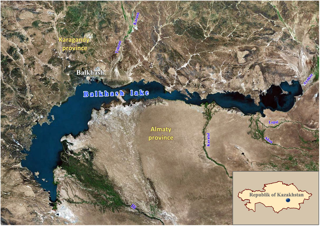
Review scheme of Balkhash Lake location
(source: SIC ICWC)
Balkhash lies in the deepest part of the vast Balkhash-Alakol depression, which was formed by a sloping trough between mountains of the Alpine orogeny and the older Kazakhstan Block during the Neogene and Quaternary. Rapid erosion of the Tian Shan has meant the depression subsequently filled with sand river sediments in what is geologically a very short time span. The basin is a part of Dzungarian Alatau, which also contains lakes Sasykkol, Alakol and Aibi. These lakes are remnants of an ancient sea which once covered the entire Balkhash-Alakol depression, but was not connected with the Aral–Caspian Depression.
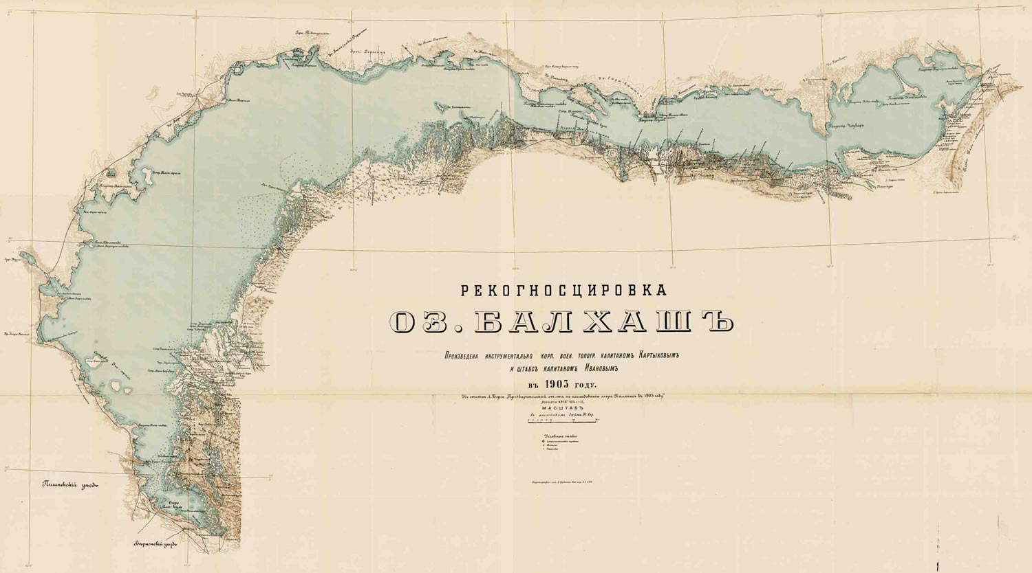
Map of Balkhash Lake, 1903
The lake has an area of about 16,400 km2 (2000), making it the largest lake which lies entirely within the territory of Kazakhstan. It is elevated about 340 m above sea level and has a sickle shape. Its length is about 600 km and the width varies from 9–19 km in the eastern part to 74 km in the western part. Saryesik Peninsula, located near the middle of the lake, hydrographically divides it into two very different parts. The western part, which comprises 58% of the total lake area and 46% of its volume, is relatively shallow, quiet and is filled with freshwater, whereas the eastern part is much deeper and saltier. These parts are connected by the Strait Uzynaral (Kazakh: "long island") which is 3.5 km wide and about 6 m deep.
The lake includes several small basins. In the western part, there are two depressions 7–11 meters deep. One of them extends from the western coast (near Tasaral Island) to Cape Korzhyntubek, whereas the second lies south from the Gulf Bertys, which is the deepest part of western Balkhash. The average depth of the eastern basin is 16 m and the maximum depth of the eastern part (and of the lake) is 26 m. The average depth of the lake is 5.8 m, and the total volume of water is about 112 km3.
The western and northern shores of the lake are high (20–30 m) and rocky; they are composed of such Paleozoic rocks as porphyry, tuff, granite, schist and limestone and keep traces of ancient terraces. The southern shores near the Gulf Karashagan and Ili River are low (1–2 m) and sandy. They are often flooded and therefore contain numerous water pools. Occasional hills are present with the height of 5–10 m. The coastline is very curvy and dissected by numerous bays and coves. The large bays of the western part are: Saryshagan, Kashkanteniz, Karakamys, Shempek (the southern pole of the lake), and Balakashkan Ahmetsu, and those in the eastern part are: Guzkol, Balyktykol, Kukuna, Karashigan. The eastern part also includes peninsulas Baygabyl, Balay, Shaukar, Kentubek and Korzhintobe.
The lake contains 43 islands with the total area of 66 km2, however, new islands are being formed due to the lowering of water level, and the area of the existing ones is increasing. The island of the western part include Basaran and Tasaral (the largest), as well as Ortaaral, Ayakaral and Olzhabekaral. The eastern islands include Ozynaral, Ultarakty, Korzhyn and Algazy.
